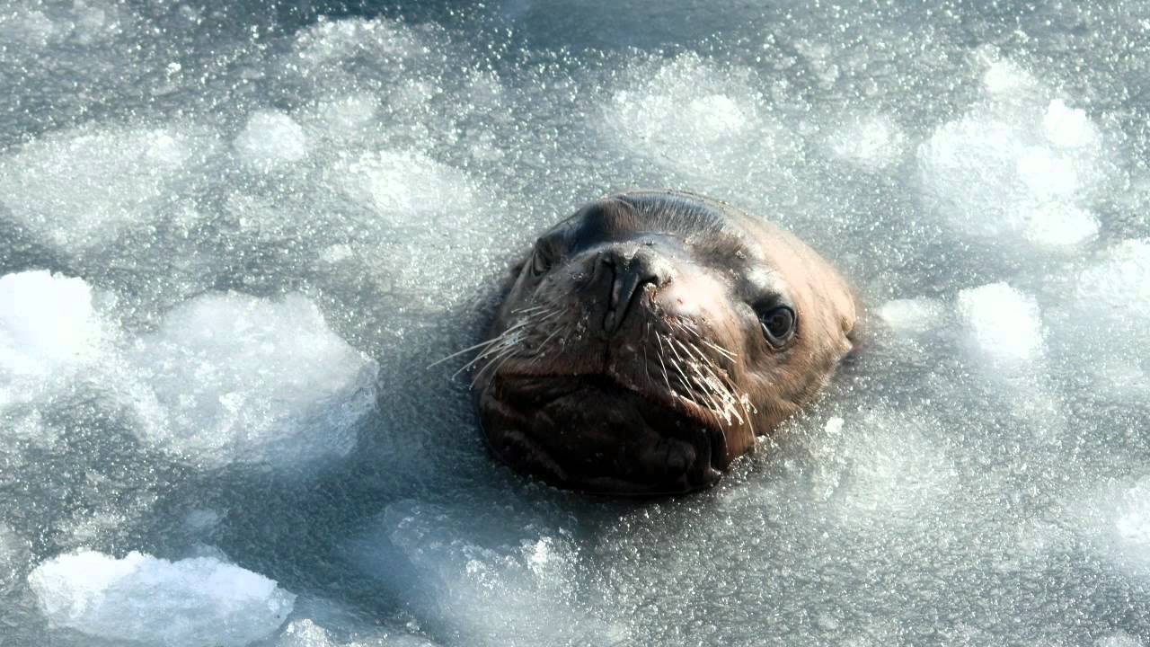
Challenge
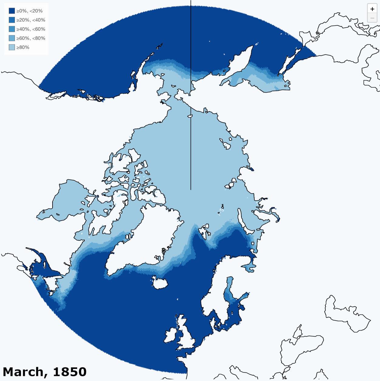
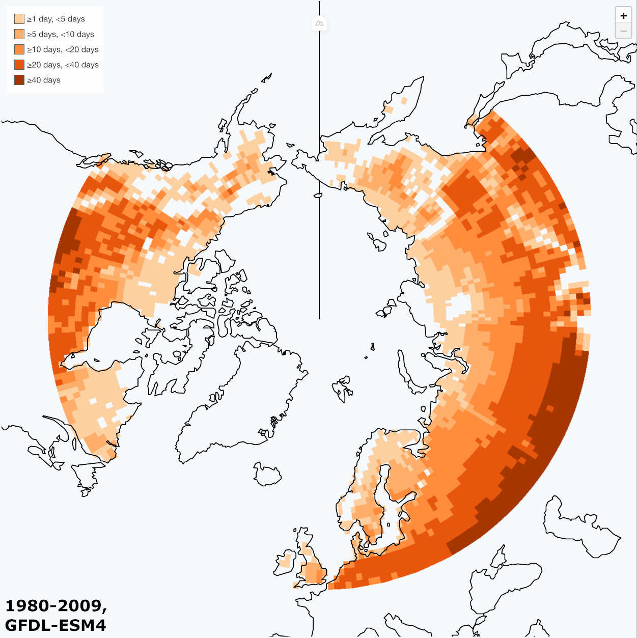
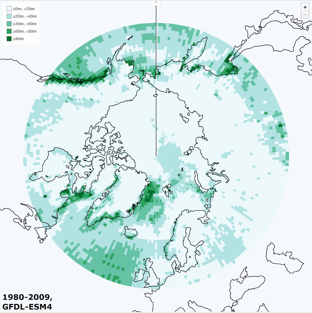
- Query with AOI polygon(s)
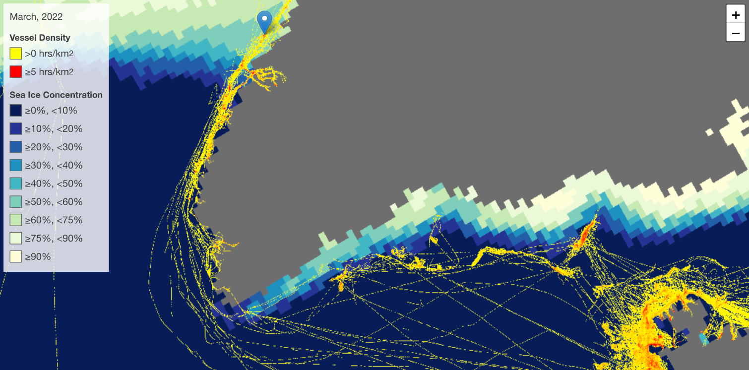
- Query through sea ice concentration data sets
- Display a timeline of concentration density number for the AOI(s)
- Query bathymetry for AOI
- Calculate minimum, maximum and mean depth of AOI and new ice free areas
- Clip areas shallower than 50 m to detect dangers to navigation in ice free areas (bathymetry model data for shallow and near shore areas are heavily interpolated, so anything shallower than 50 m (or even deeper) should be regarded as of relevant)
Capabilities Demonstrated
In this activity, which is linked into IARC's Arctic Data Collaborative, an interactive, federated demonstrator has built up showing the following capabilities, among others:
- Configuration of data on cubes
- Query between cubes
- Timeline calculation
- Polygon-to-raster extraction
Contributors
Scientific lead and data provision International Arctic Research Center, service by rasdaman GmbH, project management by Constructor University L-SIS Research Group.
Visitors
Terms of Reference
This service is part of the Cube4EnvSec project whose Terms of Reference apply in full.
Image credits: IARC, WWF, GMTDS.
